;Composite=(type=URL,url=https://images.radio-canada.ca/v1/assets/elements/16x9/outdated-content-2019.png),gravity=SouthEast,placement=Over,location=(0,0),scale=1 "Construction in flood zones: Quebec revises its map")
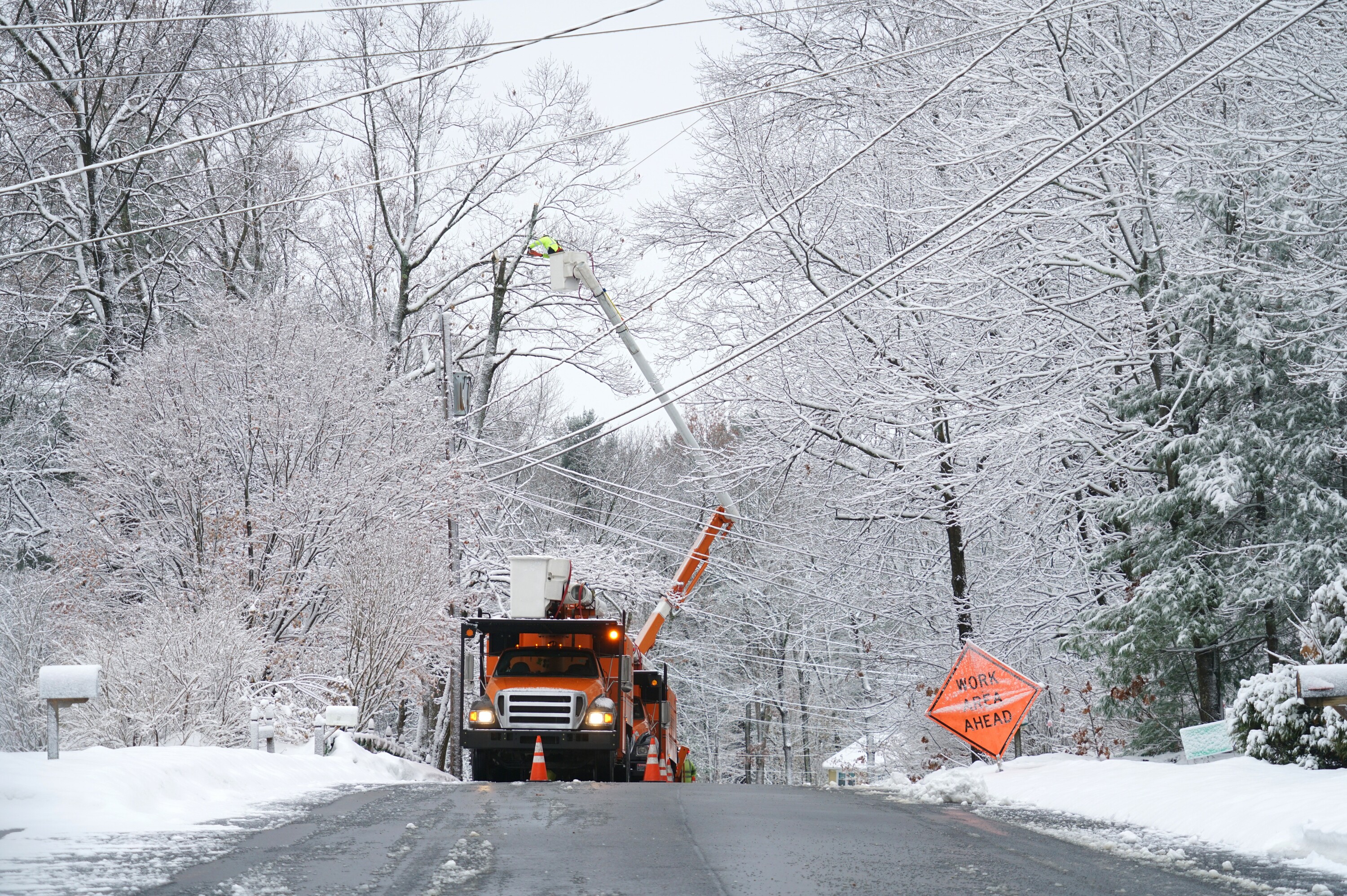
The Quebec government will revise the special intervention zone (ZIS) map, which provoked strong reactions in communities affected by floods last spring.
The Ministry of Municipal Affairs and Housing prepared this map in June as part of the project aimed in particular at establishing a moratorium on the construction and reconstruction of buildings in all mapped flood zones from 0 to 20 years and on the in 2017 and 2019 to impose on the flooded area.
However, many citizens and mayors, including those of Gatineau and Fort-Coulonge, believe that the map determining the ZISdoesn’t hold.
It’s like they took away all the wet spots. That’s a problem because there are all sorts of perfectly legitimate projects that aren’t even remotely in flood plains that end up on the map
denounced Maxime Pedneaud-Jobin, mayor of Gatineau.
He regrets that provincial officials did not communicate with their municipal counterparts before identifying flood zones in Gatineau and changing the map.
According to the mayor of Fort-Coulonge, Gaston Allard, the 0-20 year map covers more than 200 residences in his municipality, with a total population of about 1,500 people.
People in my area really feel like they’re being left out. What we are forcing is ridiculous. […] Your cartographer should be fired immediately.
If Quebec’s proposed map were adopted, Mayor Allard believes that would be the case almost near the village. People will no longer be able to build, renovate or add [des parties] at their place of residence
.
Following these comments, the Ministry of Municipal Affairs and Housing (MAMH) announced on its website on Wednesday evening that mapping of flooded areas would be adjusted “so that it better reflects reality”.
The maps were created seriously, but are based on satellite aerial images. Therefore, it is possible that corrections need to be made
specified Jean Dionne, general director of regional operations at MAMH.
Consultations in Outaouais
The aim of the consultations taking place on Thursday is also to obtain opinions from citizens on the demarcation of flood areas and on the rules for construction and reconstruction in these places.
Two public meetings were scheduled in Outaouais, at the Campbell’s Bay Community Center at 3 p.m. and the Gatineau Convention Center at 7:30 p.m.
Public consultations are taking place in a total of 25 cities in Quebec.
The problem must be solved in the long term
Additionally, Gatineau’s mayor believes we must act on two fronts: protecting neighborhoods while helping citizens affected by flooding make the best decision about where to live.
[Des résidents] They would like to go, but they can’t go. Others would like to stay but cannot protect their homes
he reports. We need long-term solutions.
In this sense, the decree does not constitute one that there is a kind of pause in development at certain points
According to him.
With information from Nathalie Tremblay

Twitter enthusiast. Organizer. Explorer. Reader. Zombie aficionado. Tv specialist. Thinker. Incurable internet maven.